


P&K ODOR
Height Profile
Product has been archived / Produkt wurde archiviert
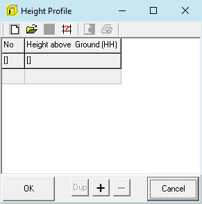
Vertical raster (HH) defined thru the z coordinate of the edge points of the layers as height above ground.
Default is: 0 3 6 10 16 25 40 65 100 150 200 300 400 500 600 700 800 1000 1200 1500.